Dry conditions are expected to prevail in the Northeast until at least Tuesday. We’ll also transition away from the freezing temperatures and gradually return to average or near-average levels. The next probability of rain or snow appears to occur between late Tuesday and early Thursday, with a reinforcing dose of very cold air.
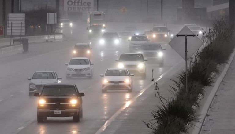
The primary focus of this forecast will be a return to more normal weather throughout the Gulf Coast next week. Following historic snowfalls in Texas, Louisiana, Alabama, Mississippi, Alabama, and Florida, we return to more temperate temperatures with the possibility of severe rain and thunder.
As a new cold front fails to clear the Southeast, conditions will resemble those seen earlier this week. After injecting cold air into the Northeast midweek, the solution is a touch milder for the South. Look for rain to surge up from the Gulf of Mexico on the back side of high pressure, although it will not be as frigid as it was this week.
Depending on the final positioning of this system, we may get some snow in central Texas or areas of the Midwest; nevertheless, the Gulf Coast of Texas, Louisiana, and Mississippi will be rainy and thundery from late Thursday onward. This slow-moving cyclone will finally deliver milder temperatures and rain to Florida, Georgia, and South Carolina.
We will also keep a close eye out to see if a severe weather component becomes an issue at any moment. Here’s your local NYC Metro forecast:
Expect a mix of sun and clouds today, with highs in the upper 20s at best. Lows fall back into the 15-20 range overnight. Tomorrow’s highs will range from the upper 20s to the low 30s.
We will continue to be very chilly on Saturday, with temperatures near 40 degrees likely on Sunday.
Monday and Tuesday are expected to be sunny, with highs in the upper 30s to around 40, followed by increasing clouds late Tuesday as we await our next probable front on Wednesday.
The official snowfall totals for this week in New Orleans are shown below.


Leave a Comment