WICHITA, Kan. – Meteorologist Adrian Campa says there will be some fog and light rain tonight, especially in central and eastern Kansas. It will be warm enough on Saturday morning that freezing fog won’t be a problem.
A cold front is coming to Kansas this Saturday, bringing windy and colder weather for the weekend. Saturday’s high will be in the low to mid 40s, and Sunday will see highs in the mid to upper 30s.
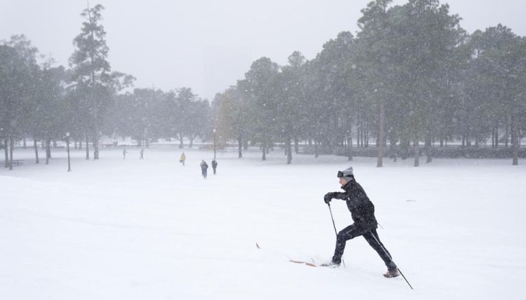
There will probably be two snowfalls early next week. This has led to a Storm Team 12 Weather Alert Day from 11 PM on Monday to 8 PM on Wednesday. It is still unclear how much snow will fall, but several inches are predicted, especially north of highway 400. The first round will affect the state from Monday night to early Tuesday morning. This storm will move quickly and may bring some light snow. The second storm will arrive on Tuesday night and stay until Wednesday evening. It could bring moderate snowfall and make travel more difficult.

Next week, we can expect very cold air, probably from the Arctic, along with the risk of heavy snowfall. High temperatures will be in the 20s and 30s, with nighttime lows in the single digits and teens. Wind chills will be below zero.

Leave a Comment