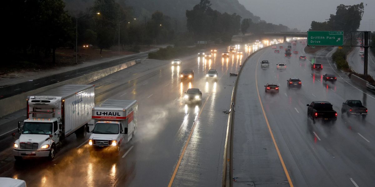
Southern California is likely to receive its first substantial rainfall in a long time. While the rain is greatly needed, there is a possibility that debris will flow into areas that have been burned by wildfires in the past.
According to the National Weather Service, the eastern San Gabriel Mountains and Los Angeles County are expected to receive the most rain.
There is a 15 to 25% chance that thunderstorms will happen “anywhere and anytime,” and they may produce small hail.

The National Weather Service (NWS) has issued a weather bulletin stating that in some locations, it is possible for three-quarters of an inch of rain to fall every hour.
As for the timetable, researchers believe that the cold front will drop temperatures and increase the likelihood of rain starting Saturday afternoon and extending into Monday.
The heaviest rainfall is expected on Sunday and Monday.
Possible mudslides in burn regions are a top worry for both weather officials and residents of Southern California. The National Weather Service has issued a Flood Watch for the impacted sections of the region, which goes into effect on Sunday.
“Flash flooding and debris flows caused by excessive rainfall are possible in and hear the Eaton, Palisades, Franklin, Bridge and Hughes fire burn scars,” NWS stated. “Heavy rain over the burn scars could trigger debris flows. Rain rates [may potentially] exceed USGS thresholds for debris flows.”
In anticipation of the storm, crews have been removing silt and impediments from storm drains and constructing barriers to redirect any water and debris flows that could potentially impact buildings that survived the fires.
Starting Saturday afternoon, a Winter Weather Advisory will be in force for the mountain areas in Ventura County.
A Winter Storm Warning has been issued for the eastern San Gabriel Mountains, where six inches to two feet of snow are expected to fall between Saturday and Monday afternoons, along with strong winds.
Alabama Woman Thrives with World’s First Functional Pig Organ After Two Months

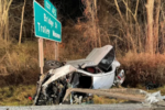
According to the National Weather Service, traveling during that time could be “very difficult to impossible.”
“There could be impacts to the Interstate 5 corridor as snow levels lower,” according to NWS. “Slick roadways are expected above 3,000 feet with winter driving conditions at higher elevations, especially in the San Gabriels.”


Leave a Comment